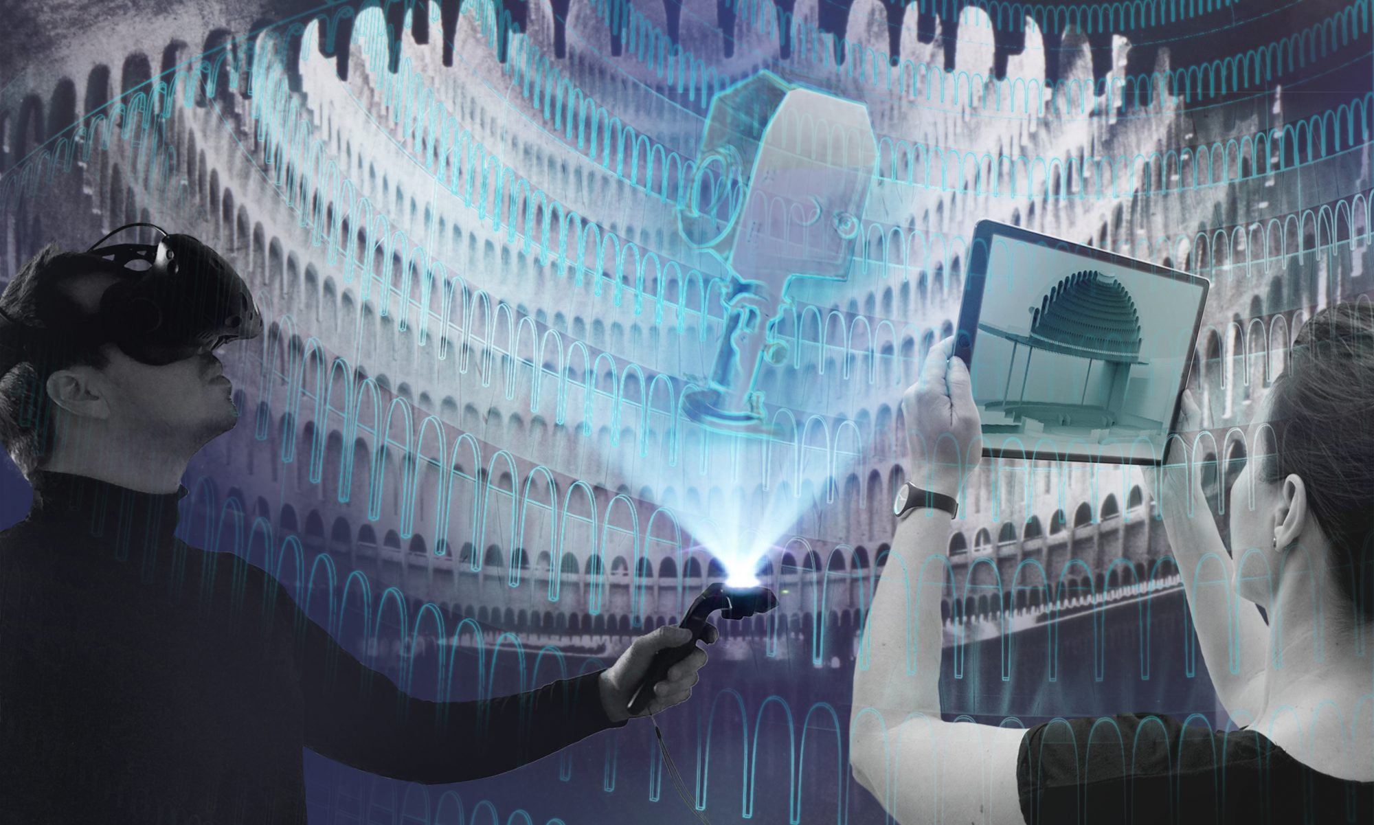
Complex renovation projects for theaters and cultural venues pose major communication challenges for everyone involved. To what extent can XR technology be used to digitally support work processes and enable communication between all those involved?
For the past year and a half, digital.DTHG has been exploring this question with the Luisenburg Festival in Wunsiedel, Upper Franconia. Since 1890, Germany’s oldest natural stage with its complex rocky landscape has been a spectacular backdrop for actors and spectators alike. Every year, up to 150,000 spectators attend the festival, which has been under the direction of Birgit Simmler since 2018. Every season, musicals, plays, comedies, opera and operetta are shown for a broad and interested audience. The tradition of showing own productions is continued by Birgit Simmler: In addition, the festival develops new formats and plays that are produced especially for the Felsenbühne.

In the middle of the forest stands the natural stage of the Luisenburg Festival, which can hardly be compared to other theater spaces. It covers an area of 4,000sqm and is a place of animate and inanimate nature. Nature itself plays the stage designer here – and has done so since the beginning of the earth’s history about 300 million years ago, when the Kösseine granite was formed as the basis of the imposing rocky landscape.
The building structures such as stairs, platforms, scenery walls and lighting systems, which have been man-made over the past decades, require a fundamentally new approach. A high degree of professional competence and expertise is required for the upcoming renovation process, which will take years and is challenging to plan due to weather conditions and production processes.
These processes are difficult to manage with conventional planning methods. Technical Manager Fabian Schröter describes: “Not everyone is skilled at reading floor plans, and even for us as experts, the mix of voids, corridors and stairs is difficult to grasp in its entirety.”
In this context, the team around Fabian Schröter and the coordinator responsible for the interfaces, Christian A. Buschhoff, tested new digital tools: “Unlike in an urban, “classically” built theater architecture, there are no sufficiently precise construction plans for this theater. Only with a spatial survey by laser scan, which we created in 2018, we can capture animate in distinction to inanimate nature with the artificially built path network and playing areas in sufficient detail. The result is a highly accurate point cloud that is the basis for all further planning steps from the very beginning.”

This excellent data basis can now be used for communication and planning: many stakeholders must be taken along on this lengthy process. Each of these target groups has its own specific requirements: from the mayor and the city council, who ist supposed to understand the need for the renovation project within 10 minutes at the evening meeting, to the group of specialist planners, who spend hours discussing a very specific details.
The classic tools of digital architectural visualization such as drawings, models, photos or renderings and animations are suitable for these complex requirements only to a limited extent. A built terrain model lends itself to spatial understanding, but it does not meet the requirements for variability, mobility, scalability and extensibility of the scenarios outlined above. Likewise, there is a great need for interactivity and flexibility. To what extent can digital technologies such as augmented reality be used here to support mediation on models, on drawings, and in real space to present complex architectural transformation processes in a comprehensible way?
In an interdisciplinary workshop in March 2021, we developed various user scenarios with participants from the Luisenburg: e.g., for renovation planning, for theater pedagogy, for discussing stage productions, and for safety briefings for new personnel. In the process, a catalog of necessary and desired features that such a digital application should contain was created in a playful and practical manner. The idea behind this is that users can use a tablet, smartphone or AR glasses to present three-dimensional content, e.g. the current planning status or variants of a design, on a drawn floor plan or a physical terrain model. The presentations can be prepared in advance by the presenter and contain a wide range of information. Similar to the slides of a PowerPoint presentation, the presenter and viewer can then click through the different 3D models.
The technical basis for the application is the new WebXR standard, which enables three-dimensional content to be displayed on a wide variety of devices, with the type of display depending on the technical capabilities of the hardware. This browser-based and device-independent use allows the same content to be played out in different ways. The first prototypical test runs have already had a great impact – we can look forward with anticipation.


